
South Carolina · Land Use & AccessExplorer
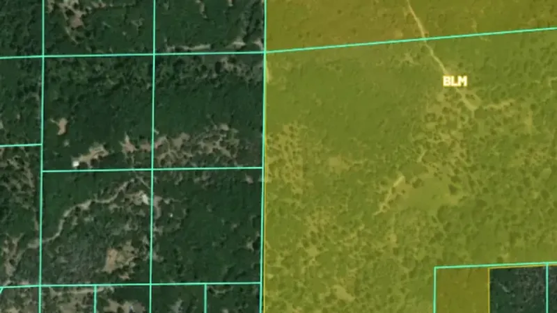
Surface Management Agency Areas
BLM Surface Management Agency boundaries showing which federal, state, or local agency manages each parcel. Colour-coded by managing agency (BLM, USFS, NPS, etc.).
Open in the appOpen in the app from Instagram or FacebookGet the app on the App StoreGet the app on Google PlaySee it in the Library
Not opening? Tap the menu, choose Open in browser, then tap Open in the app.
Open this link on your phone to see it in the app.
Detector Maps: maps for finding gold, coins and relics. About the app