
Colorado · Historic Mining HotspotsExplorer
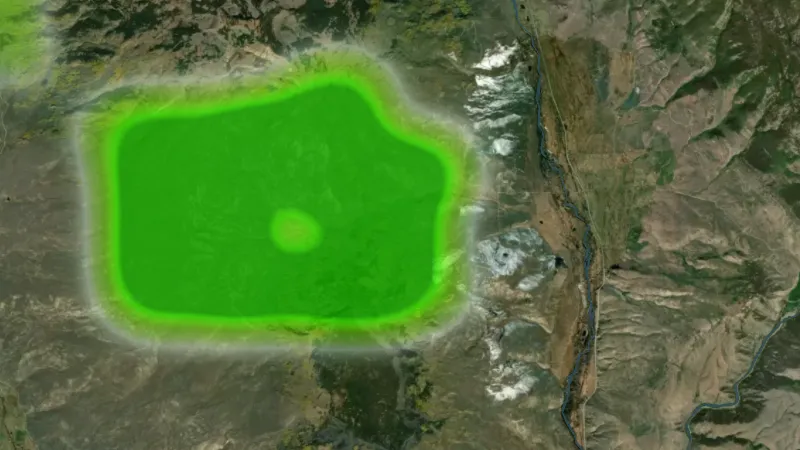
Historic Mill Claim Heatmap
Density heatmap of closed mill site claims. Clusters mark where ore processing facilities once operated.
Open in the appOpen in the app from Instagram or FacebookGet the app on the App StoreGet the app on Google PlaySee it in the Library
Not opening? Tap the menu, choose Open in browser, then tap Open in the app.
Open this link on your phone to see it in the app.
Detector Maps: maps for finding gold, coins and relics. About the app