
California · State GeologyExplorer
Detailed State Geology
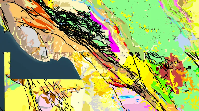
California's most detailed published geology, joined from state geological survey and USGS maps: each area shows the best map available, from 1:24,000 quadrangles to 1:1,000,000 state maps. Rock units are coloured by type and age, with contacts, faults and strike and dip. Open the filter to search the units or show only the gold host rocks.
Open in the appOpen in the app from Instagram or FacebookGet the app on the App StoreGet the app on Google PlaySee it in the Library
Not opening? Tap the menu, choose Open in browser, then tap Open in the app.
Open this link on your phone to see it in the app.
Detector Maps: maps for finding gold, coins and relics. About the app