
British Columbia · Terrain+™ LiDARExplorer
Terrain+™ Analysis
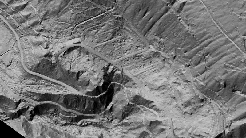
Outline an area of any shape up to 4.8 km across over British Columbia's 0.5 m LiDAR and see the ground full screen as a 3D surface, with a VE slider to raise or flatten it. Any layer can be draped over it. It shows Dynamic LiDAR™, turned on as it is built, and its LiDAR button sets Dynamic LiDAR™'s look on the model and the map alike: hillshade, slope, local relief, sky view and openness, multi-scale relief, VAT, red relief, Multi-Light PCA or the SVF/LRM Composite, each with settings to bring out the features you are after. Save a model with the button beside the X to keep it on the phone for 30 days and open it from the Terrain+™ LiDAR menu in the field, without a connection.
Not opening? Tap the menu, choose Open in browser, then tap Open in the app.
Open this link on your phone to see it in the app.
Detector Maps: maps for finding gold, coins and relics. About the app