
Western Australia · Historical Maps WAExplorer
Historic Mining Maps
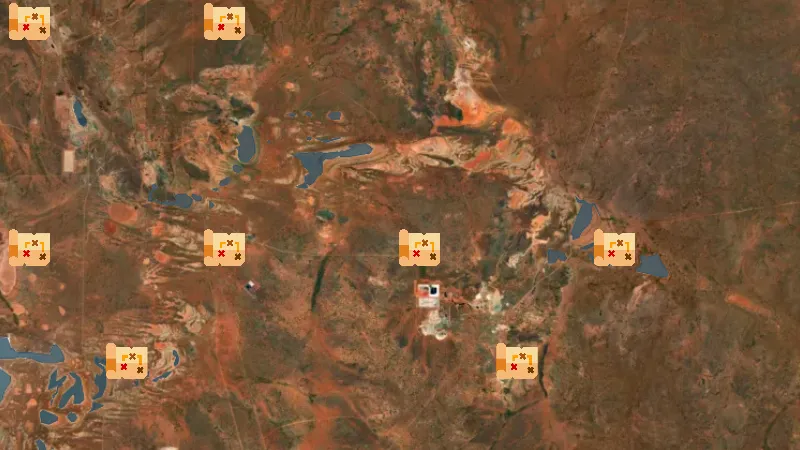
Scanned WA Mines Department public plans, 1890s to the 1990s. Tap a marker to see every edition of that sheet, preview the scan, and add it to the map. Lease numbers, workings and shaft positions are drawn as the department recorded them at the time.
Open in the appOpen in the app from Instagram or FacebookGet the app on the App StoreGet the app on Google PlaySee it in the Library
Not opening? Tap the menu, choose Open in browser, then tap Open in the app.
Open this link on your phone to see it in the app.
Detector Maps: maps for finding gold, coins and relics. About the app