
Victoria · LiDAR HillshadeAdd-on
Premium LiDAR Hillshade
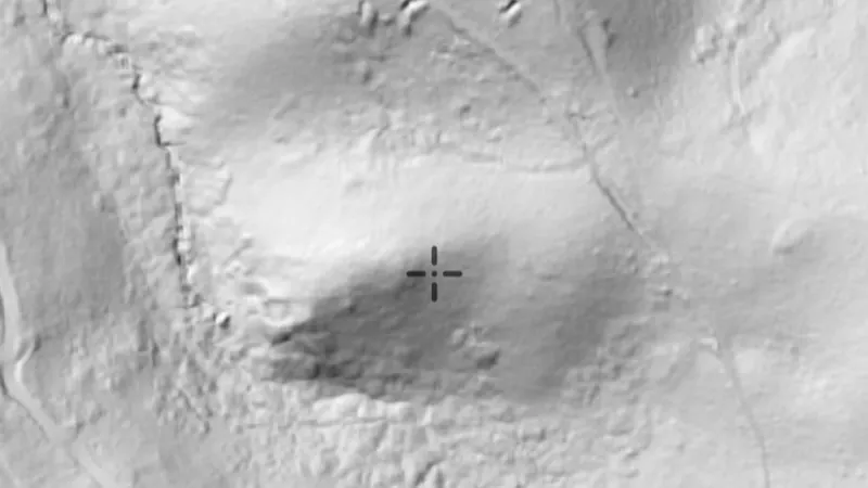
High-detail 1m shaded relief built from LiDAR. Each variation below reads the same ground a different way, so a working that is invisible in one can be obvious in another. Hillshade: the familiar one, lit from a single direction. Best all-round read of the country, but anything running parallel to the light can disappear into its own shadow. Sky View Factor: measures how much sky each point can see, so anything cut into the ground goes dark. The one for shafts, costeans, puddler holes and dams. Multi-Light PCA: eight hillshades combined into one, so nothing hides in shadow whichever way it runs. A good first pass over ground you do not know. Positive Openness: the opposite reading, ground that stands proud. Mullock heaps, spoil, tailings and the dumps thrown up beside a shaft. Local Relief 10m: strips the hillside away and leaves only the small stuff sitting on it. Alluvial workings, sluice channels and shallow pits on a slope. Directional SVF: sky view weighted to the north-west, which throws up features running across that line. Water races, tramways and long costeans. SVF + Slope: sky view sharpened by steepness, so rims and edges harden. The lip of a shaft, the edge of a paddocked or sluiced flat. Multi-Scale LRM: local relief at three scales at once. Shows the individual workings and the shape of the lead or gully they sit in together. SVF/LRM Composite: depth and relief in one colour image, slope-tinted. The most information in a single view, for reading a whole field at a glance. RRIM: red relief image map. Ridges and hollows both read without any light direction at all, which is what makes it strong on faint, weathered ground.
Not opening? Tap the menu, choose Open in browser, then tap Open in the app.
Open this link on your phone to see it in the app.
Detector Maps: maps for finding gold, coins and relics. About the app