
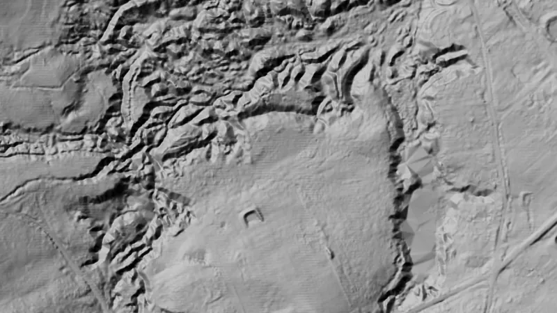
New South Wales · Terrain+™ LiDARExplorer
Dynamic LiDAR™
Dynamic LiDAR™ draws the state's LiDAR over the map on the phone as you move, in any of Terrain+™'s relief renderings (hillshade, slope, local relief, sky view and openness, multi-scale relief, VAT and red relief), Multi-Light PCA or the SVF/LRM Composite.
Open in the appOpen in the app from Instagram or FacebookGet the app on the App StoreGet the app on Google PlaySee it in the Library
Not opening? Tap the menu, choose Open in browser, then tap Open in the app.
Open this link on your phone to see it in the app.
Detector Maps: maps for finding gold, coins and relics. About the app